
Tamborine Mountain (4272)
Tamborine Mountain (4272) was first opened for selection in 1878 when John O’Callaghan cleared for agriculture, including subtropical rainforest. Originally a plateau formed by lava flow during a volcanic eruption of Mt Warning some 22 million years ago, Mt Tamborine is part of the Scenic Rim and was covered by various types of forest. A National Park was formally declared in 1908 to protect the native fauna and the habitat it provided for wildlife, especially Albert’s lyrebirds, regent bowerbirds, Australian log runners, black cockatoos, sooty owls, frogmouths, platypuses, and echidnas.
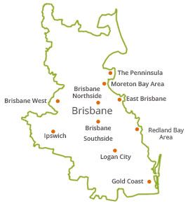
Development in the area is focussed around three villages, North Tamborine, Eagle Heights, and Mt Tamborine, with strict zoning restrictions to prevent subdivision. There is no reticulate X water or sewerage so that residents depend upon rainwater tanks, bores, and septic systems. Many commutes to work in Brisbane or the Gold Coast.
A tourist road opened the area in 1924 and since then, tourism has become a major industry in the area, the Gallery Walk with its galleries, cafes and shops attracting many days and weekend trippers. The Glow Worm Caves were opened in 2006. There are also many wineries and fine restaurants in the area and together with a broad choice of hotels and bed and breakfast establishments, Tamborine businesses have formed a cooperative to specialise in wedding ceremonies, receptions and honeymoons. But Mt Tamborine is perhaps best known for its numerous walking tracks which wind through rainforests, past cliffs and spectacular waterfalls.
As of 2011, about 7,000 people live in Mt Tamborine. To cater for these residents, there are about four schools, and a village with shopping, medical and community services.